Source: http://www.lib.ncsu.edu/gis/doqq.html
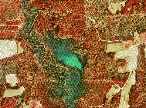
DOQQ is an acronym for Digital Orthophoto Quarter Quads. They are basically aerial photos that have a resolution of 1 meter. They are orthorectified, which means that they have the distortion from the aerial view removed. There are both infrared DOQQ and black and white DOQQ. I have selected a infrared DOQQ, which is an aerial view of North Carolina in Johnston County. Along with DLG, these images are produced by the USGS.
No comments:
Post a Comment